New Caledonia Location Map
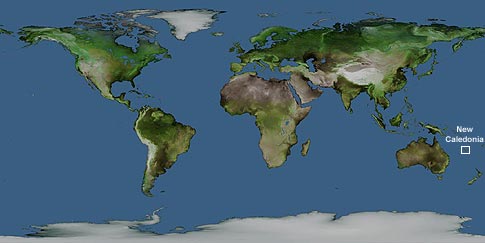
Click on New Caledonia in the map to view more maps, or choose a link to your left.
New Caledonia consists of one main island called Grande Terra and a number of surrounding islands and atolls. It has a total area of 19,060 sq km with land comprising 18,575 sq km and water 485 sq km. The coastline is 2,254km long. The lowest point is the Pacific Ocean 0m and the highest point is Mont Panie 1,628m.
Author & photographer: David Johnson (Virtual New Caledonia). Providing a credit or link is appreciated.
Our content: logos, site names, text, photos, and website design are protected by international copyright law.
Original versions of our photos can be purchased / licensed & web versions can be shared subject to conditions.