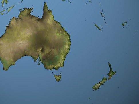
Australasian Map
Click on New Zealand in the map to view a map of Zealandia.
New Zealand and Australia to the west (pictured to the left) make up an area called Australasia. If you include the South Pacific islands to the east of Australia, and north of New Zealand, then the total area is referred to as Oceania.
Author & photographer: David Johnson (Virtual New Zealand). Providing a credit or link is appreciated.
Our content: logos, site names, text, photos, and website design are protected by international copyright law.
Original versions of our photos can be purchased / licensed & web versions can be shared subject to conditions.