New Zealand Lakes & Springs - photos
About
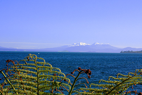
Most New Zealand lakes are situated in the South Island. The largest lake on this island is Lake Te Anau at 342 square kilometers. The largest lake in the country however is Lake Taupo in the central North Island. It is 600 square kilometers and hides the crater of a super volcano. In ancient times, Taupo was a conical volcano. It blew itself apart and formed the lake we see today. Its violent volcanic past sees this caldera hold the world record for the biggest eruption on Earth in the last 5000 years with a previous eruption holding the world record for the biggest eruption in the last 70,000 years.
Read more →
Lake Wakatipu
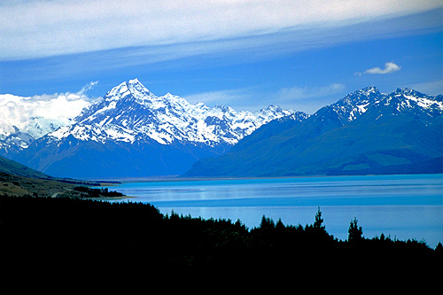
Lake Pukaki
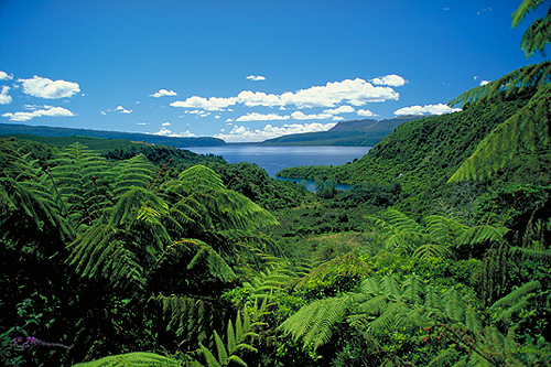
Rotorua Lakes
Lake Taupo
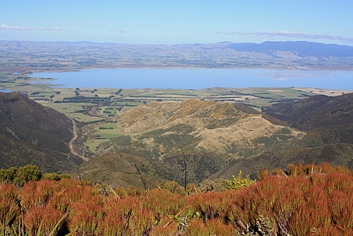
Lake Wairarapa
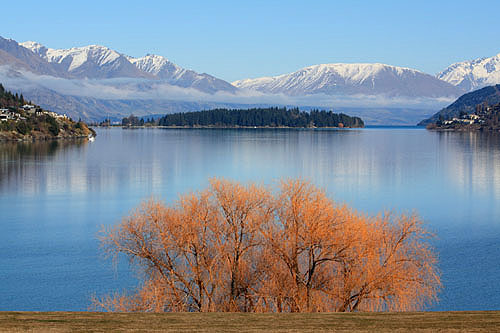
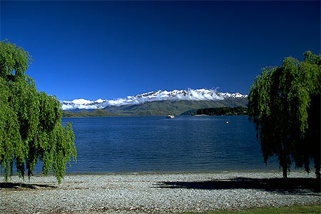
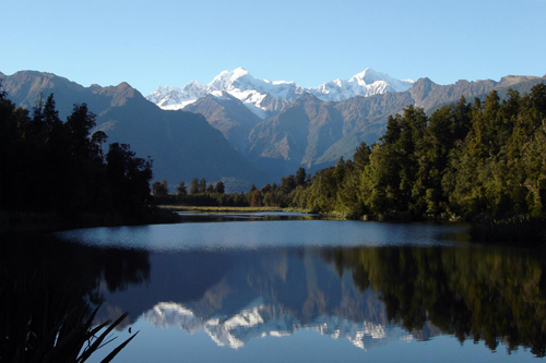
Lake Wanaka
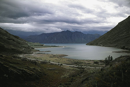
Lake Hawea
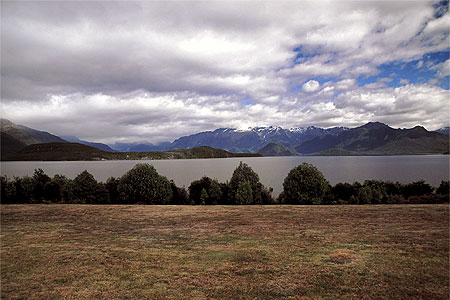
Lake Manapouri
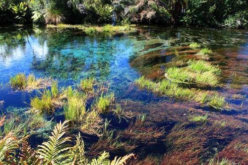
Te Waikoropupu Springs
More Lakes
The Rotorua area in the North Island has over 30 lakes, some of them contain thermal areas. Lake Hauroko is New Zealand's deepest lake at 462m (1515 feet). There are 775 lakes that are bigger than half a kilometre long. Lakes cover about 1.3% of the country's land area.
'Roto' is the Maori word for lake. Place names abound that start with 'roto' such as: Rotorua (second lake), Rotomahana (warm lake), Rotoiti (small lake), and Rotoroa (long lake).
New Zealand also has the world record for the clearest water in the world. Te Waikoropupu Springs held the record until recently when it was discovered that a nearby lake called Blue Lake is the clearest natural body of fresh water on Earth. Blue Lake’s horizontal visibility reaches up to 80m. The lake is spring-fed by a neighbouring Lake with particles in the water being filtered out by a natural dam which formed from a landslide between both lakes.
Author & photographer: David Johnson (Virtual New Zealand). Providing a credit or link is appreciated.
Our content: logos, site names, text, photos, and website design are protected by international copyright law.
Original versions of our photos can be purchased / licensed & web versions can be shared subject to conditions.