Globe View of New Zealand
Click on New Zealand in the map to zoom in and see Australasia.
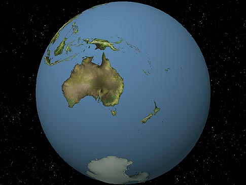
New Zealand lies in the South Pacific Ocean. Its nearest neigbour is Australia. The Antarctica lies to the south; to the north lie the tropical islands of Polynesia. Some of these islands are administered by New Zealand, and use New Zealand currency.
New Zealand Extremities.
- The northernmost point are the Three Kings Islands.
- The easternmost point are the Chatham Islands.
- The westernmost point are the Auckland Islands.
- The southernmost most point is Campbell Island.
North Island Extremities.
- The northernmost point is North Cape
- The southernmost point is Cape Palliser
- The westernmost point is Cape Maria van Dieman
- The easternmost point is East Cape
South Island Extremities.
- The northernmost point is Cape Farewell
- The southernmost point is Waipapa Point
- The easternmost point is Cape Campbell
- The westernmost point is Cape Providence
Author & photographer: David Johnson (Virtual New Zealand). Providing a credit or link is appreciated.
Our content: logos, site names, text, photos, and website design are protected by international copyright law.
Original versions of our photos can be purchased / licensed & web versions can be shared subject to conditions.